Utility mapping is the process of identifying and locating underground services without excavation, using non-invasive detection technology. Electromagnetic induction detects metallic pipes and cables, while acoustic location and tracer-wire detection help follow non-metallic or pressurised services where site conditions allow. The result is a precise map showing each utility's location, depth, and route.
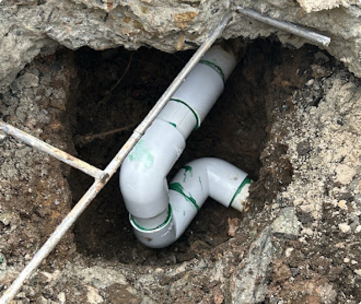
This service is essential before any excavation, construction, or ground work. Utilities are not always marked accurately in council records. Private services may not be recorded at all. Hidden utilities that don't follow expected routes cause accidents, damage, injuries, and project delays. Mapping before digging costs a small fraction of fixing the aftermath.